ALC - Technics

Posts about:

Technical (2)

Laser Scanning – Verticality Deformation Survey

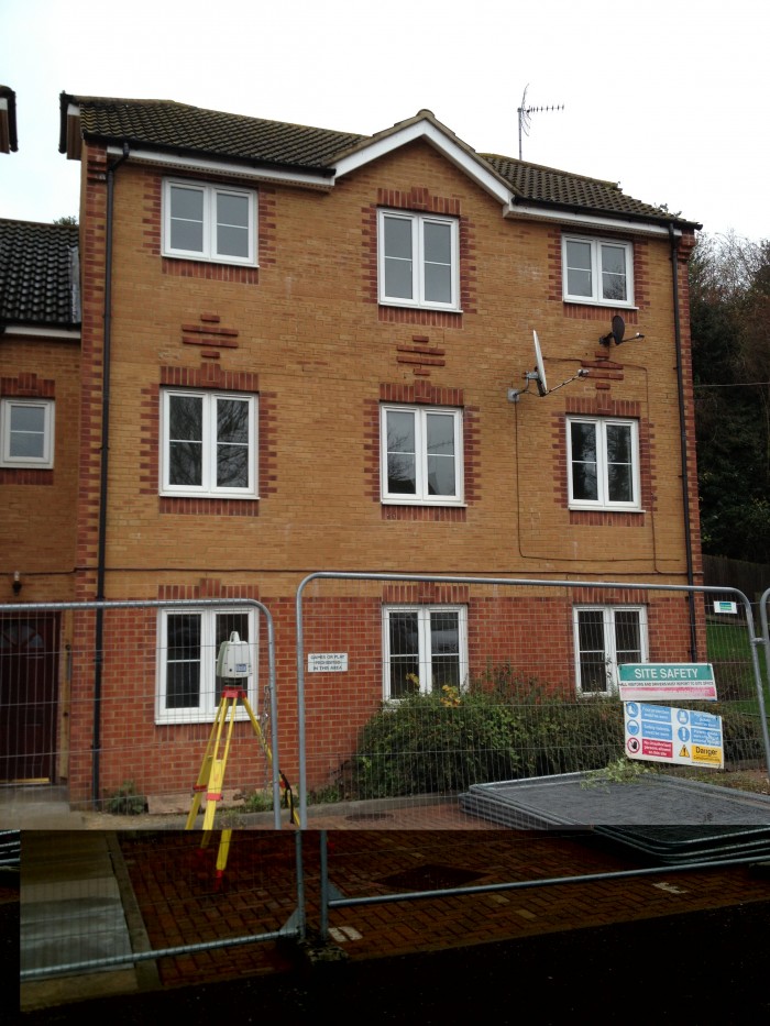
Technics Group were recently appointed to carry out a verticality deformation survey of a block of flats in Canterbury, Kent.

The site was a modern, three-storey block in a small residential development and consisted of two wings conjoined by a shared stair core. The interior exhibited some severe cracking suggesting a serious subsidence issue, which had led to the building being deemed uninhabitable and the relocation of the residents.

Structural Engineers David Osborne Associates commissioned  Technics Group to undertake the survey as part of their investigation and remedial design work.
The project requirement was to produce tabulated results showing deflections from vertical of the exterior walls and interior stair core walls at 31 plan positions, each at 10 level intervals from ground to soffit.

Read More

Contractor fined over worker’s jet of fire burns

A sub-contractor from Highley has been fined for safety breaches after a worker was burned by a ‘jet of fire’ when he hit an underground electricity cable with a steel pin while replacing pavement edging in Birmingham.

The worker, 38, from Bridgnorth, who does not want to be named, escaped with minor burns to his arms and eyebrows and had his clothing singed when the 415 volt cable sent a ‘jet of fire’ up the steel pin.

An investigation into the incident that took place on 16 August 2011 by the Health and Safety Executive (HSE) found Ricky Paul James, 46, the subcontractor responsible for the work, had incorrectly indentified the location of the live cable.

Read More

Technics Group Measure up for NIA

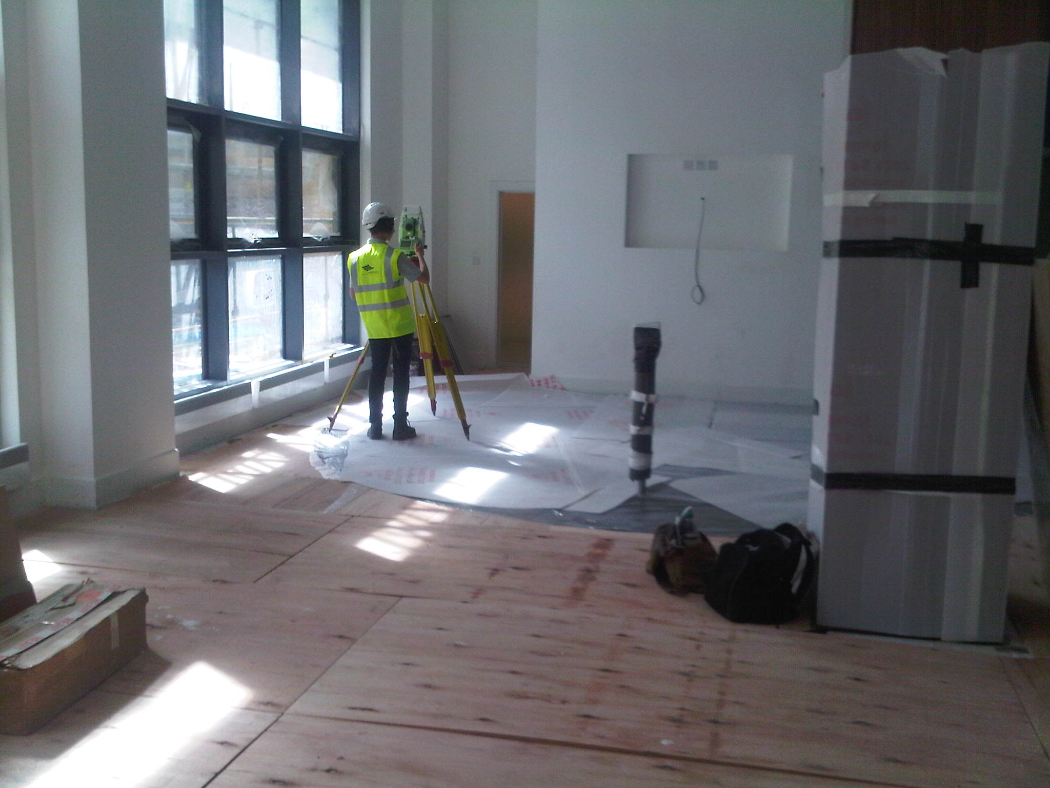
Accurate building Net Internal Area calculations have a variety of uses including as built assessment, marketing, H&S documentation and lease / rent calculations and are therefore essential for a project team. Being certain of the NIA allows the team to confidently progress and removes the likelihood of conflict. Technics Group have recently completed an NIA survey for the New Central development in Woking, Surrey.

The Barratt Homes development includes 445 Residential units together with 4900m2 office space over a six storey office block.

Working closely with the contractor Midguard Limited the survey was split into 2 phases which were undertaken during 2011 and 2012, each being to a critical project deadline.


Read More

The Essential Guide to Utility Surveys

The Survey Association has released a video to help promote its excellent Utility Surveys guide. This is the first best practice guide in the UK and is essential reading for anyone responsible for excavations with regard to site management, health & safety, design, planning of facilities management. It is designed to inform both the people commissioning utility surveys and practitioners seeking to deliver a high quality and appropriate survey.

Read More

GPS – a brief explanation

GPS is the acronym for the Global Positioning System. It is a planet-wide satellite navigation and positioning system with applications ranging from in-car “SatNav”, guiding combine harvesters and airliners, positioning oil rigs and weapons guidance systems.

Land surveyors use it as a tool for precise positioning and also general surveying and mapping methods.

The system is a three dimensional measurement system which uses hand held and more precise survey instruments to receive radio signals from orbiting satellites to determine their terrestrial (surface) position.

Read More