ALC - Technics

Posts about:

Information & Tips About Our Services

Everything You Need to Know About Topographic Surveys

If you’re planning a development, extension, or infrastructure project, then commissioning the right topographic survey at the right time can save months of redesign, unexpected costs, and planning delays. Yet topographic surveys are still one of the most misunderstood parts of the site investigation process, and in some instances often treated as a tick-box requirement rather than a critical design input.

Read More

Your Registered Title may not be your Legal Boundary

The Issue

There’s a lot of confusion about boundary plans and what they actually show. The terminology doesn’t help much and only adds to the general confusion. The plans that are used when we buy and sell property only indicate the boundary line and don’t necessarily define it. All of this comes to light only when we have to investigate the title to a property. This could include a poorly defined property boundary in rural area, but is just as common in a closely packed urban housing estate. So what is the story with property plans and how relevant are they?

Read More

Sinkholes – can they be avoided?

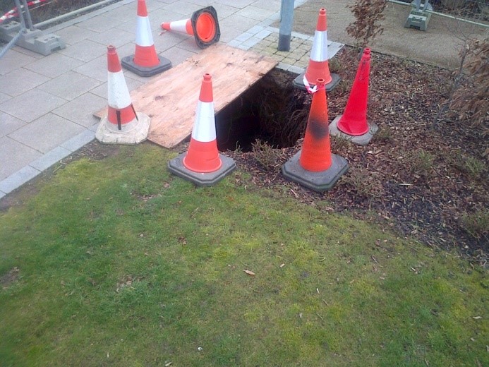
Technics Group invited their partner Arrow Geophysics to provide a Guest blog about subsidence and sinkholes, which as we know have been highlighted in the news due to the heavy rain and extreme flooding that we’ve been experiencing recently. According to news reports this has led to more than five times the average number of sinkholes being reported during February. Deterioration can happen rapidly – the two photos shown below were taken four days apart at a school in north Kent!

Read More

Technics Group solutions run deep

Technics Group is pleased to announce a unique technique which can determine, at surface, the position and depth of below ground water bearing pipelines from 2m to 25m deep in most ground conditions. Recent developments and testing have shown that the technique delivers accuracy levels of ± 0.3m either side of the centreline of the pipe.

Read More

The Use Of BIM In Dispute Resolution

In the September edition of Civil Engineering Surveyor magazine Alasdair Snadden wrote an article looking at how Building Information Modeling (BIM) can be used in the dispute resolution process. This got us thinking about how surveying could be used to assist in dispute resolution and particularly in the creation of a Building Model. Typically, surveying is undertaken in the early stages of a project and involves the creation of Topographic and Measured Building Surveys. Surveyors are then utilised to set out procedures, and in some cases in the production of built external and internal drawings, towards the later stages.

Read More

The Importance of Utility Mapping

What is Utility Mapping?

A utility map shows the positioning and identification of buried pipes and cables beneath the ground. The procedure involves detecting things like sewers, electric cables, telecoms cables, gas and water mains. Combine this mapping process with a topographical survey and the results will provide you with a comprehensive detailed map of anything that is hidden underground or directly related to any above ground features. 


Example of a utility map.


Read More

Laser Scanning – Verticality Deformation Survey

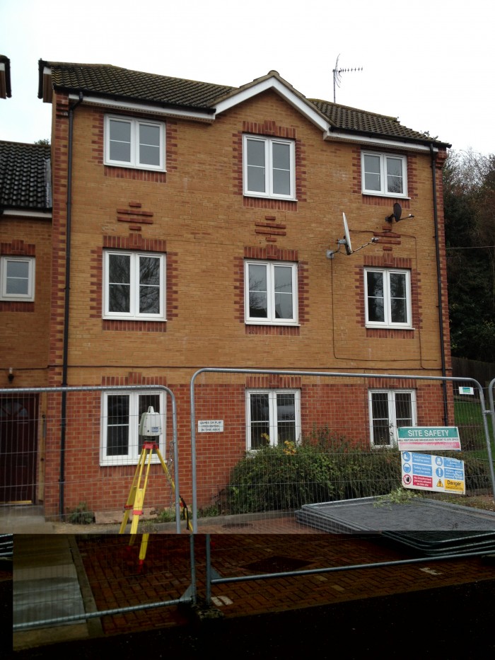
Technics Group were recently appointed to carry out a verticality deformation survey of a block of flats in Canterbury, Kent.

The site was a modern, three-storey block in a small residential development and consisted of two wings conjoined by a shared stair core. The interior exhibited some severe cracking suggesting a serious subsidence issue, which had led to the building being deemed uninhabitable and the relocation of the residents.

Structural Engineers David Osborne Associates commissioned  Technics Group to undertake the survey as part of their investigation and remedial design work.
The project requirement was to produce tabulated results showing deflections from vertical of the exterior walls and interior stair core walls at 31 plan positions, each at 10 level intervals from ground to soffit.

Read More