

Earthworks Modelling Service
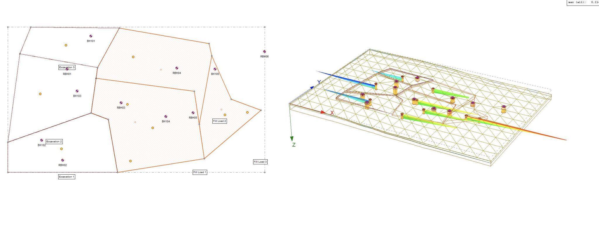
This work requires the modelling of earthworks taking into account the regrading of sites to achieve development plateaus that recognise drainage levels, subsurface structures and any contamination.
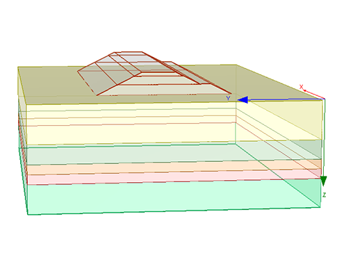
Geological information is incorporated into an earthworks model by use of Holebase which generates contoured surfaces that can be imported into AutoCAD 3D. This seamless interface of geological strata elevations is unique as it allows for sophisticated cut/fill modelling generating quantities of different soil materials.